Estimating Crop Water Use in Northwestern China
This project aims to produce a better understanding of the potential for freshwater use in China’s Heihe River Basin, a major agricultural production center and one of the country’s largest inland river basins.
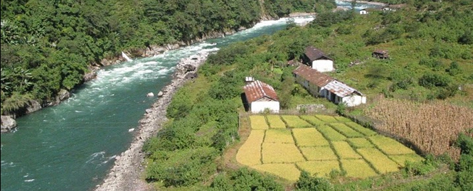
GFI researchers are focusing their research on the region’s Zhangye Basin, where agriculture is the primary industry and obtaining adequate quantities of irrigation water is a challenge. The economy of the region and the livelihoods of millions of people rely on crop yields. Because only 10 – 20 centimeters of rain fall per year, meltwater and precipitation in the Qilian Mountain range to the southwest provide the main sources of water.
The diversion of surface water from the Zhangye Basin to replenish an environmentally important downstream lake has put additional stress on water supplies. To provide enough irrigation water, a significant amount of groundwater must be extracted annually from aquifers. By 2004, the percentage of irrigated agriculture relying on groundwater resources was 68 percent, up from essentially nothing in the 1950s (Wang et al., 2006).
In recent years, irrigation and other uses have extracted groundwater faster than the rate at which aquifers in the Zhangye Basin fill. Over-pumping has led to a declining groundwater table, land degradation, ecosystem loss and groundwater quality degradation. Environmental issues resulting from groundwater mining place further stress on agriculture in the basin.
Our research is aimed at estimating crop water use as a function of crop type. To do this, we analyze the water requirements of corn, wheat and barley. Until the early 2000s, wheat was the most widely grown crop in the basin. In recent years, the production of seed corn has been increasing rapidly, and it is now the basin’s predominant crop. Compared to wheat, seed corn is a water intensive crop. It is especially water intensive in the Zhangye Basin where inefficient furrow irrigation is used in corn fields.
In this research, we use two methods that rely on weather and satellite remote sensing data to estimate the rate at which these crops contribute to water loss from the irrigated soil. With this and other data, water managers and farmers will be better equipped to understand their crops’ water consumption and the effects on freshwater resources.